Madagascar
Country Data
Regions
3
Breaks
31
Coastline
4,828 KM
Cost of living
Capital
Antananarivo
Current Time
Security
Health
Where to surf in Madagascar
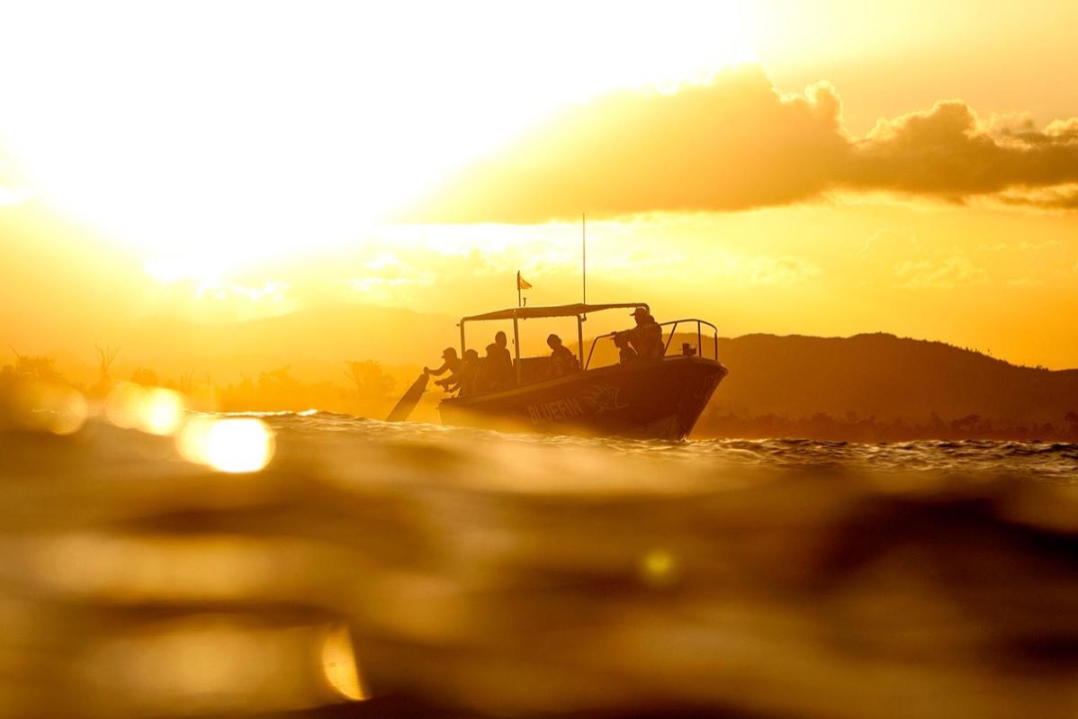
Madagascar is surprisingly under-explored, particularly in the north where swell is far less reliable. Even in the regularly surfed south, large gaps await the curious between Vezo Reefs and the beginning of the Southwest Madagascar zone, as well as the swell overloaded SE-facing coast from Cap Sainte Marie to the Southeast Madagascar region and the beginning of the east coast. With few issues around crowding in the surf, plus particularly slow and difficult travel logistics to get around the world's 4th largest island, Madagascar is a surf destination for the adventurous and intrepid.
East Coast
The vast bulk of the east coast is featureless, windblown beachbreak, punctured by more rivermouths depositing murky, silt-laden water into unappealing, sharky line-ups. Toamasina (aka Tamatave) heralds the start of a lush yet desolate coast, open to cyclonic devastation and occasionally some quality surf. The region’s poor infrastructure prevents easy beach access, the SE trade winds can be brutal, and the oceanic real estate is some of the world’s sharkiest. Because this NE coast needs an ESE swell angle, consistent or even good surf is never guaranteed. In Toamasina where swimming is banned due to a huge shark population attracted to the abattoir and pollution, there is some good form on the reef off the port, but it is almost always blown-out, and you would be crazy to enter the water. Up the coast there is resort accommodation near the Foulpointe reefs and hazardous beachbreaks, where steep drop-offs, currents, and lots of rocks reside. Mahambo maintains a small local surf population and a few funky, shallow right and left reefbreaks in the vicinity.
In the Northeast are plenty of nooks and crannies to explore if you have a solid 4WD truck and driver/Malagasy translator. Up there, several points and countless reef passes beckon, and the rest of the coastline up to Diego Suarez, including Baie d’Antongil is absolutely loaded with potential greatness. Wind blown Ile Sainte-Marie is fenced by a massive barrier reef that curves in the south, has a pass in the middle and ends before the northern tip where rocky rights and lefts have been ridden. Of course, access is the problem throughout this region and a sturdy, ocean going boat trip would be the answer.
West Coast
The Mozambique Channel has a bit of a reputation for unpredictable seas and forms a 1000km long corridor that ranges from 1000km wide down to a 460km squeeze at Tambohorano, Madagascar. Here the coastline is gouged by large estuarine rivermouths connected by straight sandy beaches and the migrating bars pile up some impressive looking left set-ups. Of course muddy rivermouths in the Mozambique Channel are the last place surfers are looking, given the perceived shark threat. There are also long left points on the SW-facing coast opposite the tiny specks of near shore islands that also could be worth a scout around in the boat you would need to scope this coast. The French territories of Juan de Nova, Basses de India and Europa sit in deeper water, ringed by coral in atoll and fringing format, creating a shipping hazard, but little else. Back on the “big island”, the crazy sand deltas continue down the west coast past Morondava, Belo sur Mer and onto the coastal town of Morombe, which has air links with the capital.
Madagascar surf map
Explore the 3 regions & 31 surf breaks in Madagascar.
Travel Information
General
- Current Time
- Tourists
- 291,000
- Population
- 27,691,018
- Tourist Info
- Tourist Info
Security
Health
Money
- Currency
- MGA
- Exchange rate
- $1 = 9,050 MGF MGA
Cost of living
Communication
- Dialing in
- +261
- Dialing out
- 00
- Language
- Malagasy, French
Electricity
- Plug Type
- cdejk
Visas
15 day ($10), 30 days ($37) Visa on arrival. You can get a visa before arrival which will save a bit of time at the airport, which can be especially handy if trying to make connecting flights. For updates and latest news check
Due to global pandemic, Visas, Getting There, Getting Around or Accommodation information and pricing may have changed. Always check Government Travel Advice before travelling.
Library
Helpful surf travel videos and articles featuring Madagascar.
The Stormrider Passport
Get your Stormrider Passport to explore 5000 surf spots for as little as £1.25 a month.
What’s in it for you?
- 01.
5,000 DETAILED BREAK REPORTS
Access to 5,000 detailed surf spot descriptions with ability to save spots for offline access.
- 02.
10 STORMRIDER ICONS FOR EVERY SPOT
Compare our iconic, easily recognisable symbols, highlighting 10 crucial factors for every surf break.
- 03.
UNIQUE STORMRIDER FILTERS
Personalise your search by matching your skill level, travel plans, and seasonal preferences to discover your perfect waves.
- 04.
WINDY FORECAST FOR EVERY BREAK
Get the latest surf conditions from our forecast partners at Windy, plus webcams and forecasting links.
- 05.
COMPARE REGIONAL SURF SPOT DATA
Compare regional break data and statistics to quickly discover your ideal surf destinations.
- 06.
CREATE YOUR PERSONAL WORLD SURF MAP
Easily build a map of your worldwide surf travel adventures, or create a bucket list of future destinations.

We've got more in the pipeline
Signing up not only gives you access to the World’s best surf information, it allows us to create even more amazing features in the future.


