Azores
Country Data
Regions
3
Breaks
35
Cost of living
Security
Health
Where to surf in Azores
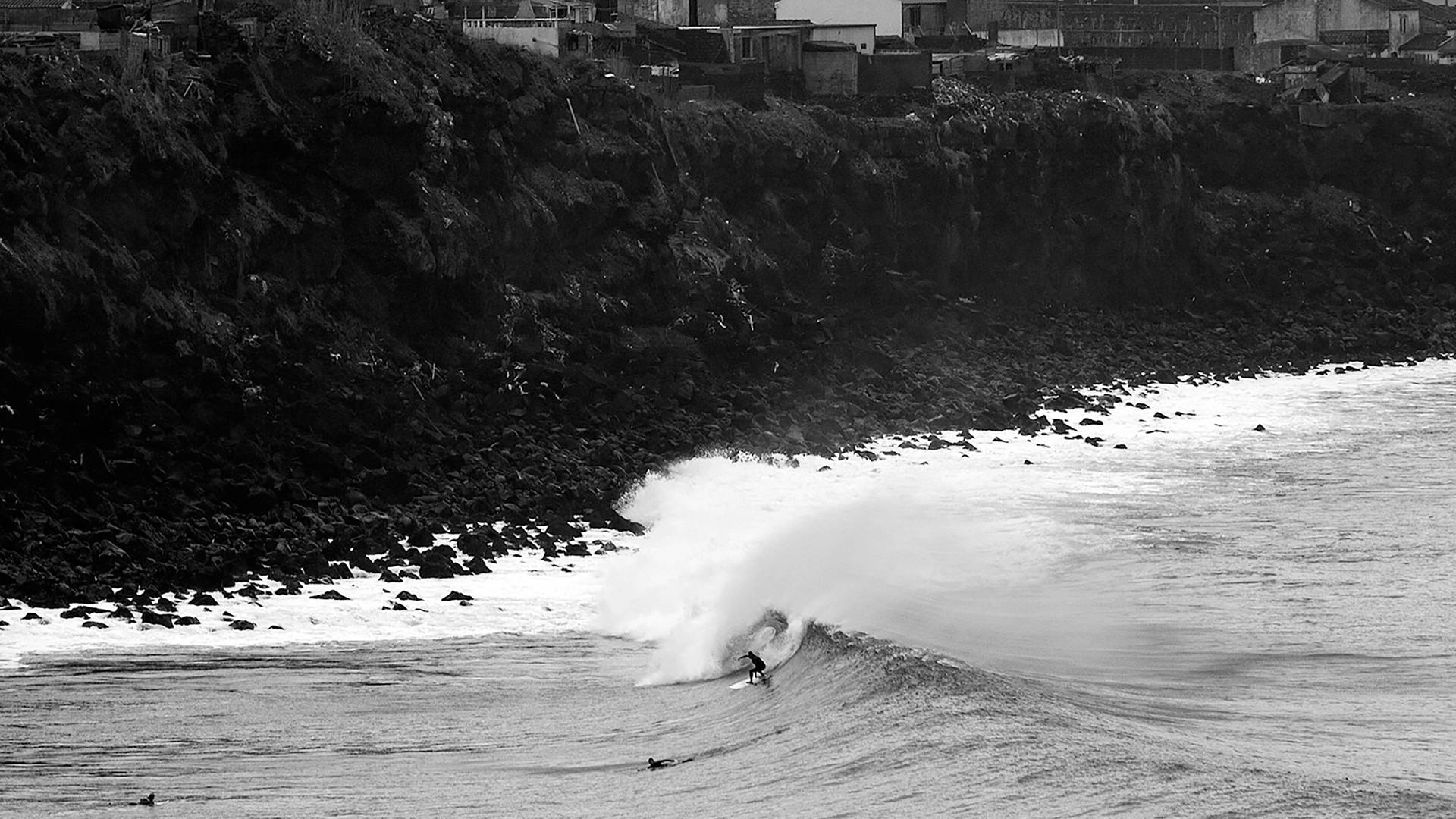
When compared to the Indian and Pacific Oceans, the Atlantic contains very few islands. The Mid-Atlantic ridge, an underwater volcanic mountain chain, runs the entire length of the Atlantic Ocean, but only breaks the surface in a few places. The nine islands of the Azores sit 1300km (800mi) west of Lisbon, and actually include Portugal’s highest peak on the island of Pico. Although they should be easy to spot, sailors referred to The Azores as ‘the Disappearing Isles’ because of the huge swells that would obscure them from view. It is this kind of reputation that is attracting the seasoned surf traveller to these virgin, wave-drenched shores. These islands are split into three groups: occidental (Corvo, Flores), central (Faial, Pico, Terceira, São Jorge, Graciosa) and oriental (Santa Maria, São Miguel). São Miguel is the most populated and most visited island with the only N-facing beachbreaks in the chain. Surfing was introduced to the islands by Marines from the US army base in Faial in the 60's, however the local waveriding population is still small.
Oriental
São Miguel is the biggest island and home to the most surfers. It’s the only island in the chain with north-facing beachbreaks at Ribeira Grande and probably has the greatest variety of surf spots.
Santa Maria is the furthest island east and has an exposed right reefbreak on the NW coast at Anjos plus some rocky beachbreak on the south coast at Praia.
Central
Terceira simply means the third island, but some of its waves are first class. São Jorge is long (56km), thin (8km at widest point) and extremely steep (1053m at the central peak). Short, rocky platforms called ‘fajas’ are the dominant coastal feature, formed by either lava flowing into the sea or piles of rocks that have fallen from the sheer cliffs.
Visible from all the other islands in the central group, Pico is Portugal’s highest mountain and hides a few north coast breaks for those willing to walk some of the tracks or lucky enough to have access to a boat. Lajes do Pico has a SW-facing reef that picks up all the W and S swell action. Just to the west lies Faial and the rocky east coast breaks at Praia do Almoxarife that take big N and some S windswells. Praia do Norte is the main attraction open to all swells but best on W-NW to wrap down the left point. Graciosa is the most northern and smallest island in the Central Grupo and has a few east coast breaks between Praia and the port of Barra near Santa Cruz da Graciosa. The northwest coast has a couple of reefs to search out.
Occidental
Corvo is a logistical nightmare in bad weather for planes and boats and the cliffs prevent rideable surf along most of the coast – only the southern tip at Vila do Corvo has any waves. Flores has far more potential and the place to start exploring is the west coast and the rocky peaks around Faja Grande and Fajazinha.
Azores surf map
Explore the 3 regions & 35 surf breaks in Azores.
Travel Information
General
- Current Time
- Tourists
- 645,000
- Population
- 245,766
- Tourist Info
- Tourist Info
Security
Health
Money
- Currency
- European euro (EUR)
Cost of living
Communication
- Dialing in
- +351
- Dialing out
- 00
- Emergencies
- 112
- Language
- Portuguese
Electricity
- Plug Type
- f
Visas
Portugal is part of the Schengen visa scheme so Europeans, North Americans and Antipodeans get 90 days and the rest get a visa first.
Due to global pandemic, Visas, Getting There, Getting Around or Accommodation information and pricing may have changed. Always check Government Travel Advice before travelling.
Travel Gallery
Surf Culture
History
The Stormrider Passport
Get your Stormrider Passport to explore 5000 surf spots for as little as £1.25 a month.
What’s in it for you?
- 01.
5,000 DETAILED BREAK REPORTS
Access to 5,000 detailed surf spot descriptions with ability to save spots for offline access.
- 02.
10 STORMRIDER ICONS FOR EVERY SPOT
Compare our iconic, easily recognisable symbols, highlighting 10 crucial factors for every surf break.
- 03.
UNIQUE STORMRIDER FILTERS
Personalise your search by matching your skill level, travel plans, and seasonal preferences to discover your perfect waves.
- 04.
WINDY FORECAST FOR EVERY BREAK
Get the latest surf conditions from our forecast partners at Windy, plus webcams and forecasting links.
- 05.
COMPARE REGIONAL SURF SPOT DATA
Compare regional break data and statistics to quickly discover your ideal surf destinations.
- 06.
CREATE YOUR PERSONAL WORLD SURF MAP
Easily build a map of your worldwide surf travel adventures, or create a bucket list of future destinations.

We've got more in the pipeline
Signing up not only gives you access to the World’s best surf information, it allows us to create even more amazing features in the future.


